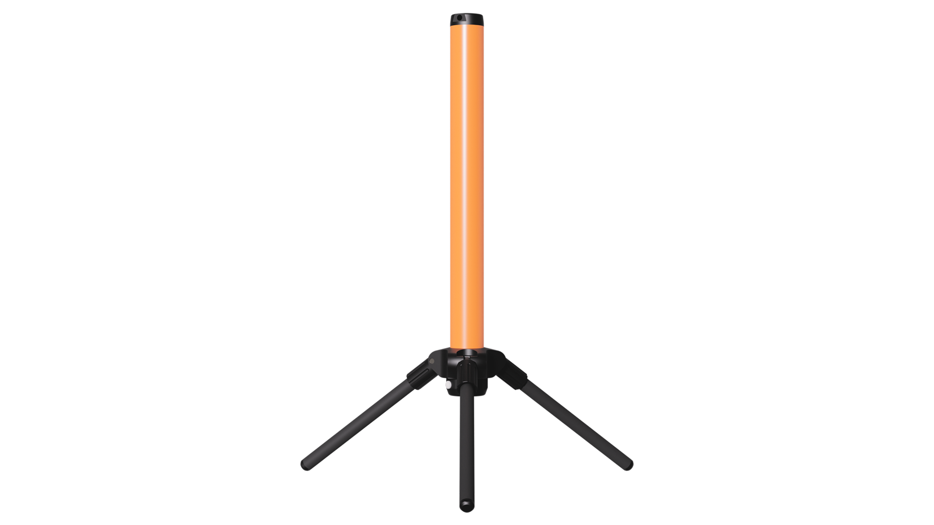
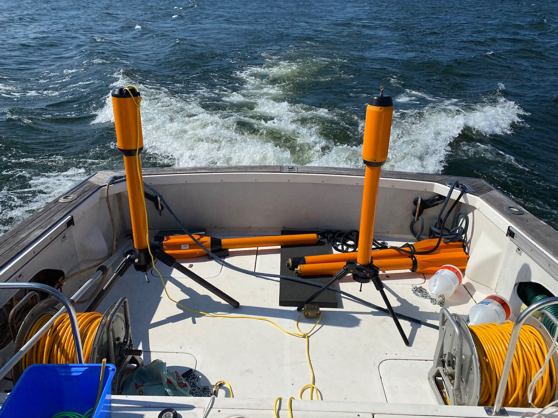
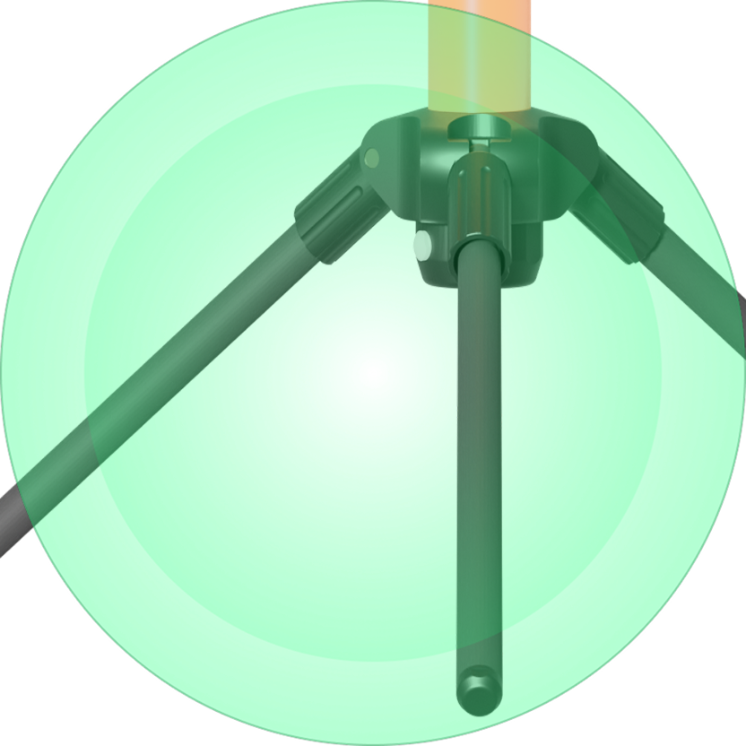
Fold and Go
Detachable folding tripod for quick & simple deployment
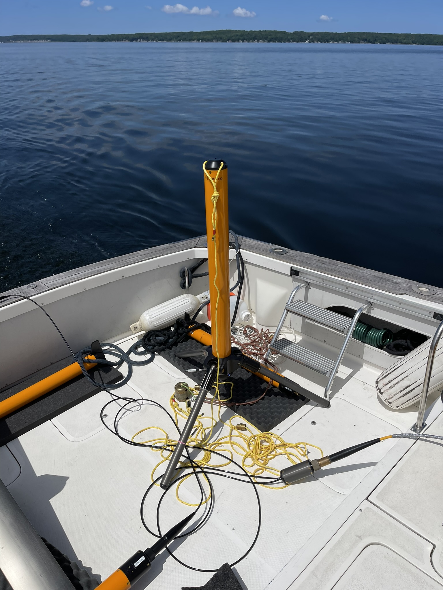
Base Station Magnetometer for Land and Sea
Measure Twice. Survey Once. There’s no accounting for weather and magnetic storms are no exception. Even on an average day, background variation caused by atmospheric activity can obscure survey data and make it harder to interpret.
On a bad day, noisy atmospheric conditions can render your data totally unusable. Unless you use a second, stationary magnetometer to compensate for both random and systematic background variation, that is.

Build Quality
Fold and Go
Detachable folding tripod for quick & simple deployment
Lasts Survey Long
30 hrs – 45 hrs battery life (@ 1 sample/1-10s)
Increased Internal Storage
Significantly higher internal storage capacity when used underwater
Integrated GPS
precise automatic time synchronization to UTC time
Status LEDs
Significantly higher internal storage capacity when used underwater
Wireless Data Transfer
Connect a smart device or computer through native wifi
Make Sentinel2 a perfect fit for your application.
Size + Weight


Base Station
Height with tripod: 1.32m
Tripod Diameter: 1.14 m
Tube Diameter: 9.5cm
Weight on land: 15.2 kg
Weight in water: 4.3 kg (Neutrally buoyant w/o tripod)
Sensor

Tuned Overhauser for absolute accuracy
Sensitivity: 0.02 nT
Resolution: 0.001 nT
Gradient Tolerance: > 10,000 nT/m
Range: 18,000 to 120,000 nT
Temperature Drift: NONE
Dead Zone: NONE
Sampling Rates: 0.2 Hz to 4 Hz (1 Hz recommended)
Operation
Depth Rating: 1000m
Max Surface Incline (Tripod): 15°
Operating Temperature: -25C to +60C
Data
Storage Temperature: -60C to +70C
Storage Capacity: [500gb]
Communication: WiFi web interface (access point mode) RS-232, 9600 bps
Battery
Battery Pack: Lithium-Ion, 8V, 92 Wh
Battery Charge Time: Approx. 8-10 hrs with the included 2A charger.
Battery Life:
30 hrs (@ 1 Hz, or 1 sample/1s)
40 hrs (@ 0.2 Hz, or 1 sample/5s)
45 hrs (@ 0.1 Hz, or 1 sample/10s)
System
Integrated
Electronics module
Onboard memory
GPS (UTC sync)
WiFi (Access point)
Tripod
Battery module
Software
Easily plan, configure, execute, and analyze your survey –free and native for all our magnetometers. Add-on: Make near-time Total Field and Analytic Signal maps from your survey data.
Overview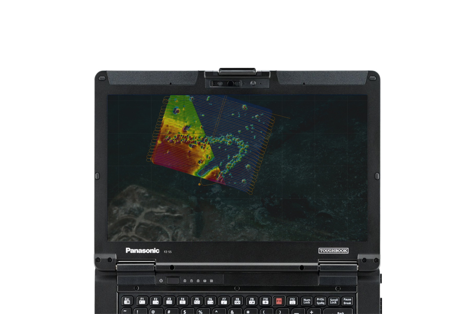
Install or update firmware for improved performance, recent patches, or new features.
Overview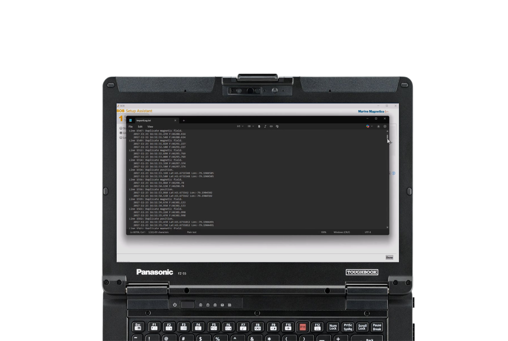
Other compatible software: Hypack, Geosoft, Golden software, Seebyte, Fugro, Teledyne, Chesapeake Technology, Organic Imaging Consultants
Required Accessories


Pelican Case iM3220
Length: 119.9 cm, Width: 41.9 cm, Height: 23.4 cm
Shipping Weight: 26.1 kg
More
24 V Universal AC Power Supply
Charging Cable: Male 8-pin Subconn Inline Micro Circular Connector
Waterproof On/Off Mag Key
USB Cable
Add-ons
Optional: External power operating cable (land use only): 20 m