BOB
Survey Acquisition Software

BOB is your buddy on board
Plan, collect, and clean your survey data with BOB. Pinpoint with BAM. Free and native for all our magnetometers.
BOB Survey Software
Easily plan, configure, execute, and analyze your survey –free and native for all our magnetometers.
Enhanced Survey Planning
Create, save, and import Guide Grids for future survey planning.

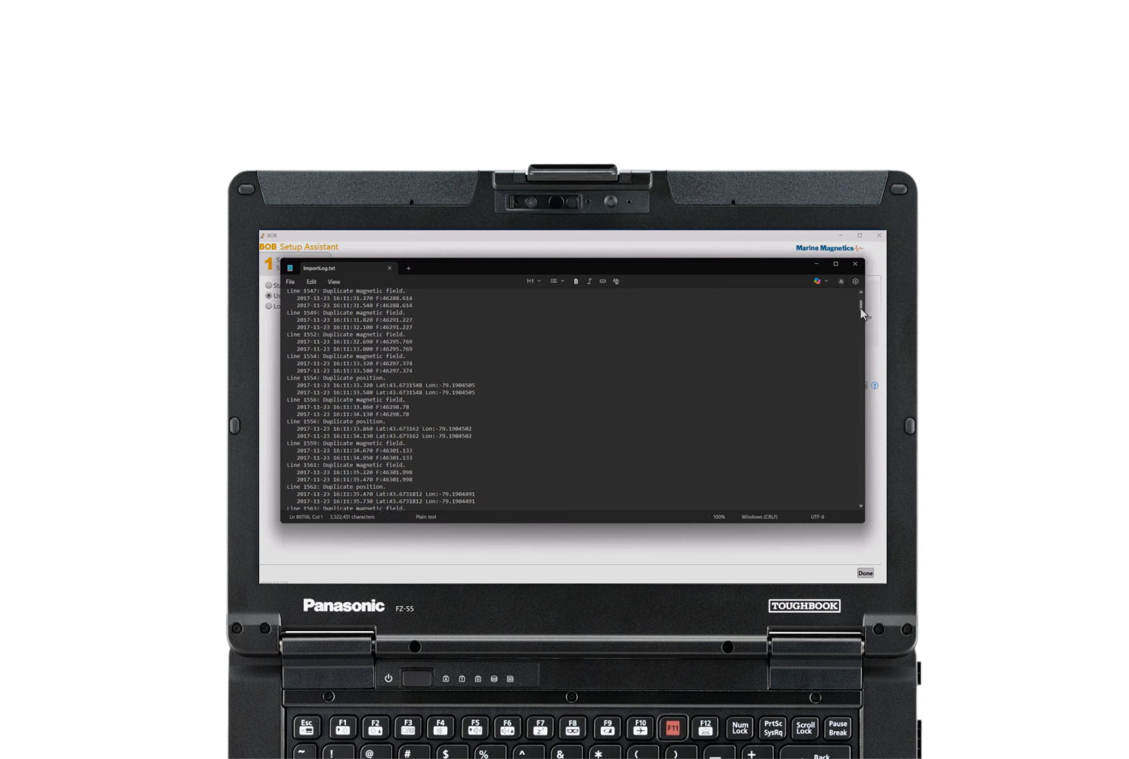
Intuitive Assisted Setup
Connect your computer, mag, and GNSS through COM or USB Port guided by BOB’s simple Setup Assistant.

(Fully) Review Plot in Time and Space
Magnetic field data rescales based on your level of magnification. The interactive Survey Overview gives you instant access to any part of your survey.

Mag Monitoring and Control
Track signal strength, sample rate, synch, depth, altitude (above the seabed). Detailed diagnostic panels and terminal access facilitate troubleshooting and issue resolution.

Live Layback Correction
Real-time calculations pin-point the mag’s position even when making turns.

Nav Assist
Take the pain out of planning surveys and accurately piloting your vessel with BOB’s Guide Grid tool and Navigation Assistance.

Flexible .csv Exports
Export your entire data set or just the lines you select to text files for other GIS systems. Save your favourite settings or use the SeeTrack predefined settings.

More features
Try the latest version with a sample survey.
Download BOB Free
Analyze with BAM
Analyze near-time Total Field and Analytic Signal maps from your survey data to dive confidently armed with a list of location targets and sizes.

Corrected Total Field Map Reveals Anomalies
Corrections for systematic errors applied, anomalies are evident. It’s time to analyze them.

Transform to Analytic Signal Map
Eliminates distracting gradual changes caused by distant geologic sources and emphasizes near-surface targets. The transformation in data clarity is stark (and exciting).

Choose targets to analyze
Mark targets on the map or the Profile Plot, label them, and see statistics to refine your analysis.

Export maps as GeoTIFF
Grids can be exported numerically as Grid Exchange Format (GXF)
Request a trial license and get information on pricing and applications.
Request a Trial